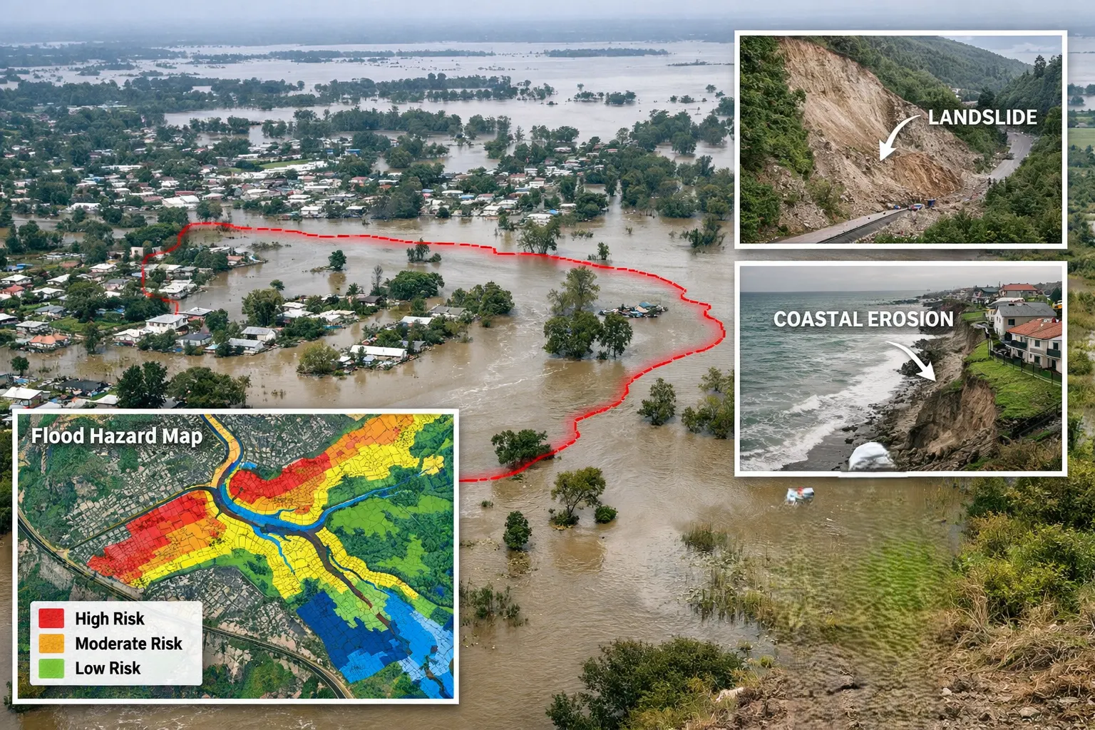
Lidar Service.

We provide different kind of services in Lidar Service:

25+ Years Experience
10,000+ Projects Completed
70+ Industry Experts
20+ Countries Served
99% On-Time Delivery

         Lotus Geo is a Geographic Information System (GIS) consulting company that has been pioneering geospatial services in photogrammetry since 1999 and has expanded its services to include LiDAR, GIS, Orthophoto Processing, and Building Information Modelling (BIM). With extensive global experience, we deliver ready-to-use, highly accurate geospatial data supporting diverse industry-focused GIS applications.

We transform complex spatial data into actionable insightsโ€”accurately, efficiently, and on time.

What we do

Comprehensive GIS solutions, end to end

From raw aerial and mobile capture to ready-to-use, highly accurate spatial data for your applications.

๐Ÿ“ Photogrammetry Service

  • Aerial Triangulation
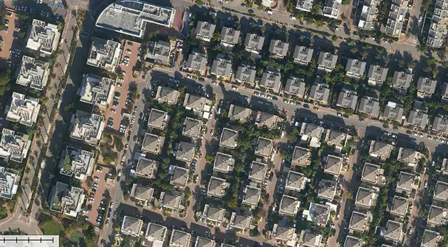
  • Ortho photo generation
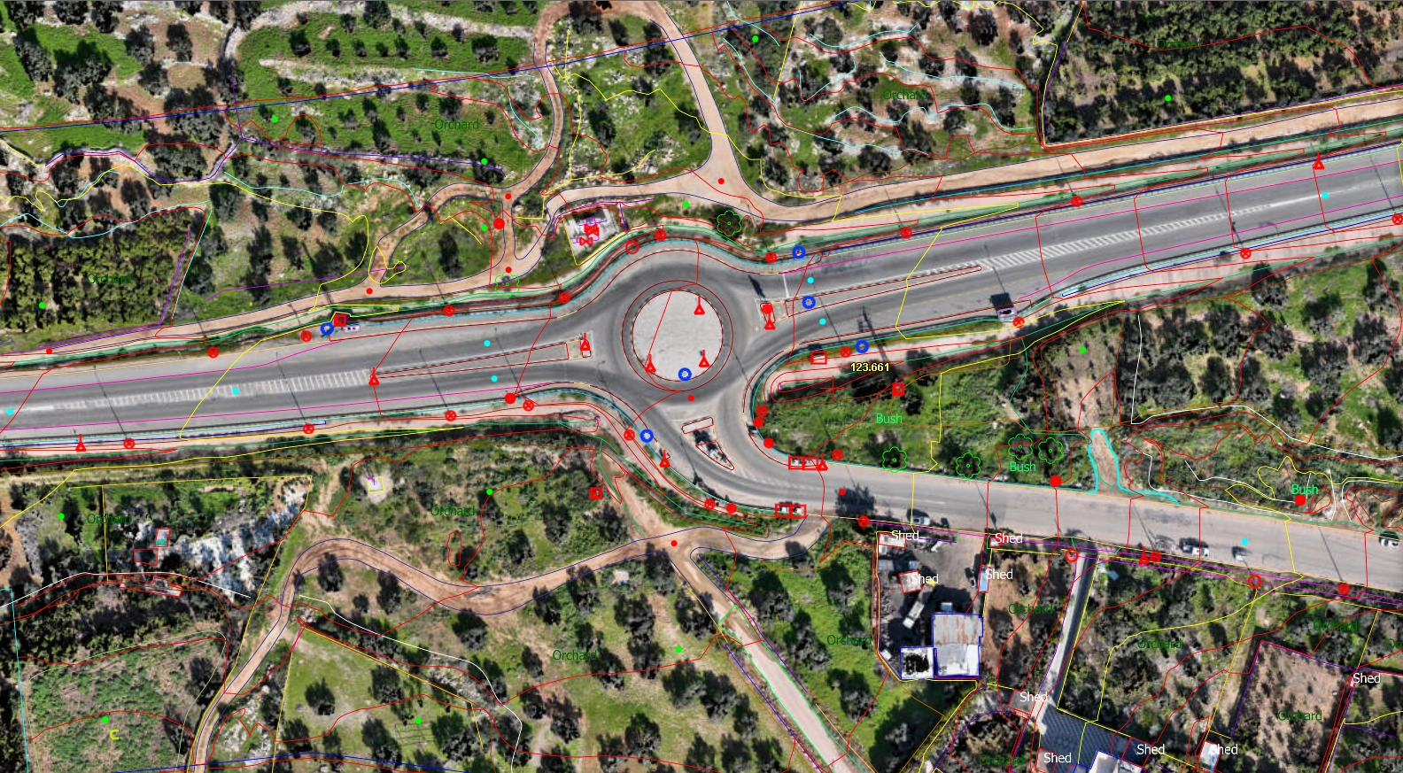
  • Planimetric data collection/Updating
  • Topographic Mapping
  • Contour extraction
  • CAD editing
  • Data Conversion
View More โ†’

๐Ÿ›ฐ๏ธLiDAR Service

  • Flight line Matching
  • Ground Classification
  • Advanced Classification
  • 2D / 3D vectorization
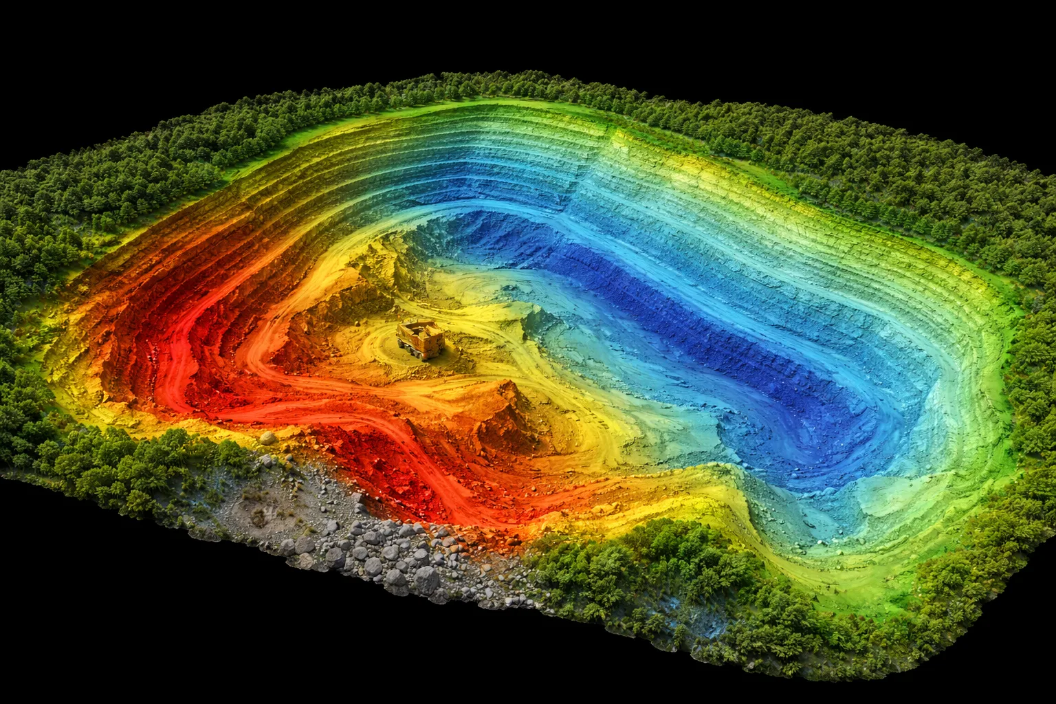
  • DTM / DSM generation
  • Contour creation
  • Ortho photo generation
  • CAD editing
View More โ†’

๐Ÿ—๏ธ BIM Service

  • Point Cloud to 3D model
  • 2D Floor Planning
  • 2D Cross-section plan
  • 2D Elevation plan
  • 2D Ceiling plan
  • 2D drawing to 3D model
View More โ†’

๐Ÿ—บ๏ธ Orthophoto Service

  • Orthophoto generation
  • Mosaicing & Cleanup
  • DEM correction
View More โ†’

๐Ÿ“Š GIS Data Analysis Mapping

  • Geo Reference
  • Planimetric Mapping
  • CAD Editing with Text
  • Traffic sign and Attribution
View More โ†’

A delivery partner you can rely on

๐Ÿงฉ

Comprehensive solutions

Every capability under one roof โ€” no vendor juggling.

๐Ÿ“ˆ

Small to large scale

From single sites to nationwide programs.

๐ŸŒ

Onshore & offshore

Flexible delivery models that fit your budget.

๐Ÿ”

Transparent workflow

Structured operations with visibility at every stage.

Why Choose Lotus Geo

  • Comprehensive GIS Solutions
  • Small to Large Scale Projects
  • Application-Specific Solutions
  • Onshore & Offshore Delivery
  • Complementing Infrastructure
  • Structured Operations
  • Transparent Workflow
  • 24x7 Customer Support